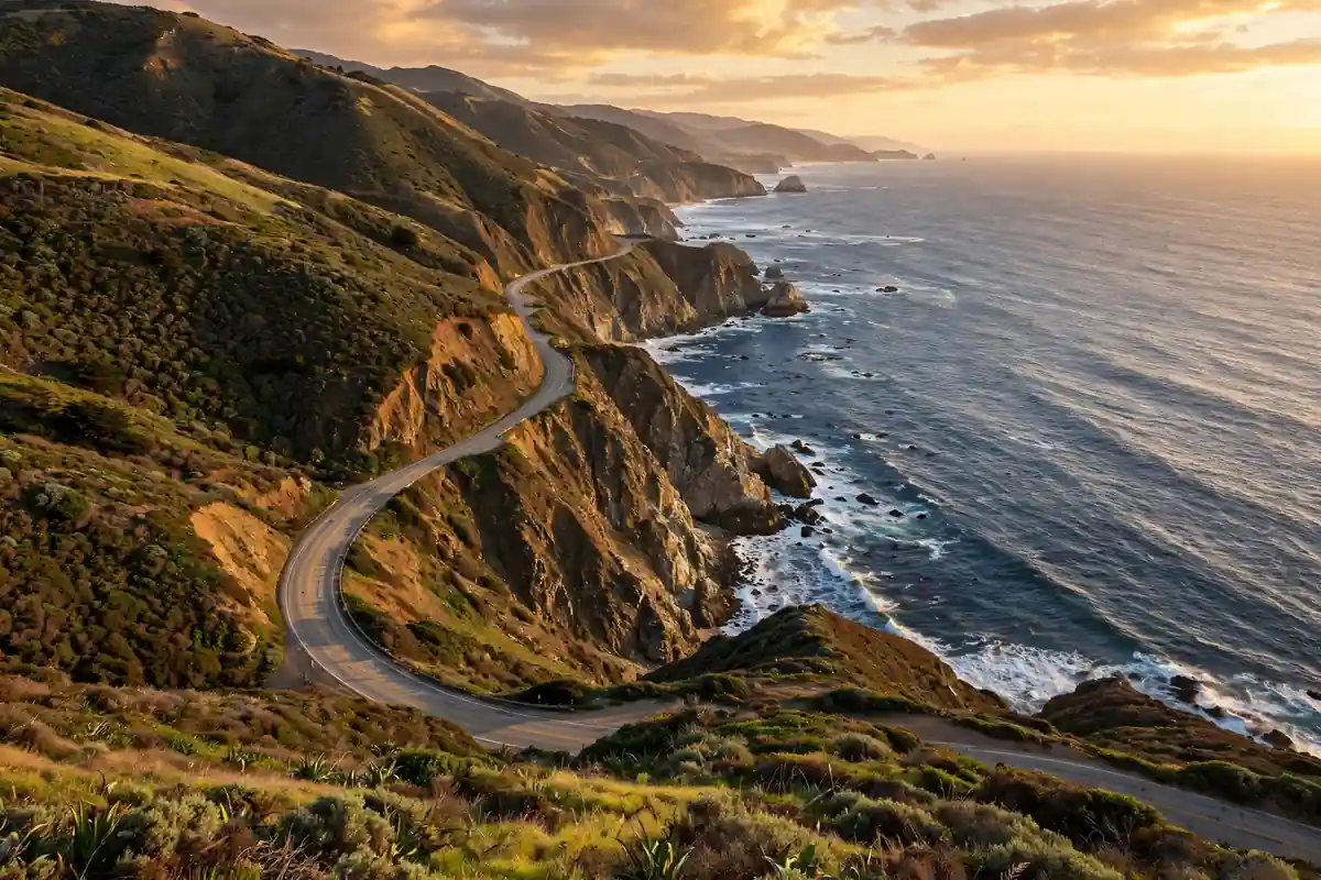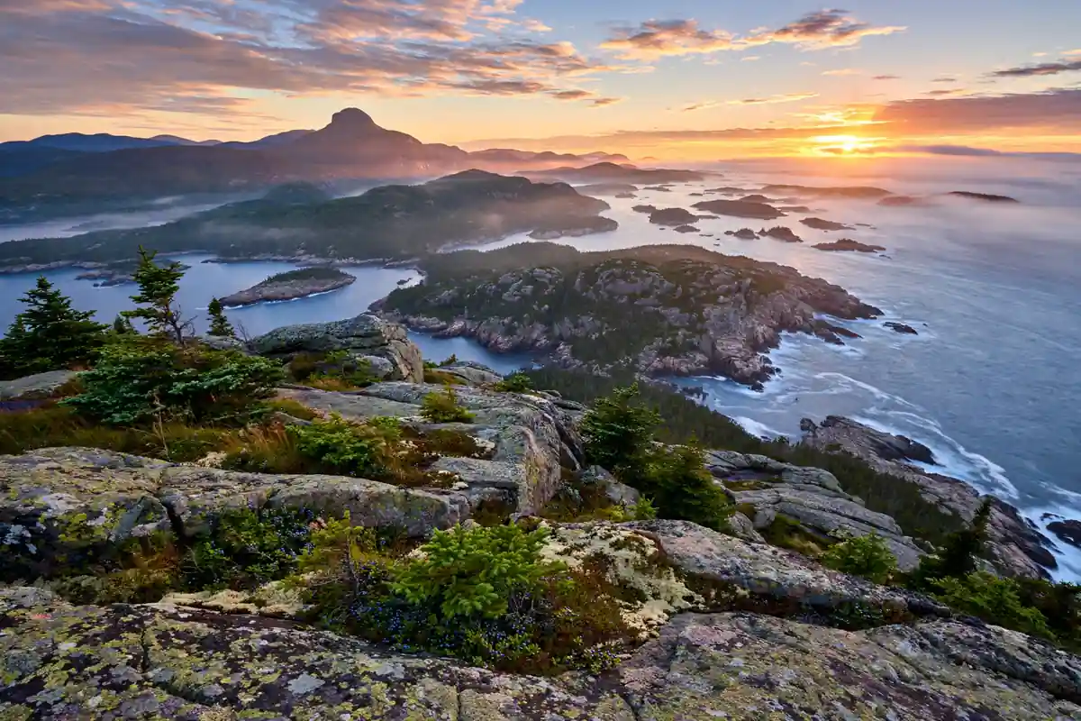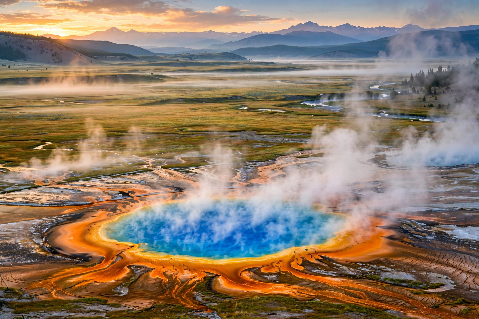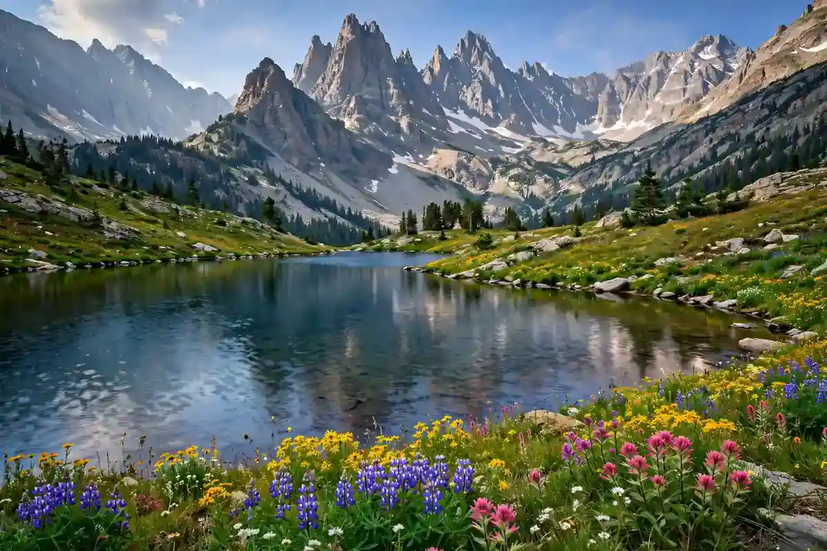
Rocky Mountain National Park is where the Rockies show off. Jagged 13,000-foot peaks, glassy alpine lakes, elk bugling through golden aspen groves — this 415-square-mile park in northern Colorado distills the entire mountain West into one spectacular, hikeable package.
The best Rocky Mountain National Park hikes share one defining trait: altitude. Even the “easy” trails start above 9,000 feet, which means thinner air, faster weather changes, and views that begin the moment you leave the parking lot. This guide covers the seven hikes with the most spectacular payoff for the effort, with real distances, honest difficulty ratings, and the permit and timing details that make or break a Rockies trip.
Rocky Mountain National Park Hikes at a Glance
- Emerald Lake Trail — 3.2 miles, easy-moderate, three alpine lakes in one short hike
- Sky Pond via Glacier Gorge — 9.5 miles, strenuous, the park’s most dramatic lake
- Longs Peak (Keyhole Route) — 15 miles, very strenuous, a 14er summit
- Chasm Lake — 8.4 miles, strenuous, beneath Longs Peak’s sheer east face
- Deer Mountain — 6.2 miles, moderate, big views with fewer crowds
- Ouzel Falls (Wild Basin) — 5.4 miles, moderate, waterfall in a quiet corner
- Ute Trail — 4 miles one-way, easy-moderate, alpine tundra along Trail Ridge Road
Building a nationwide hiking list? Our roundup of the best hiking trails in the USA puts these Rockies classics in context with standout trails from every region.
1. Emerald Lake Trail: Three Lakes, One Easy Hike
Distance: 3.2 miles round-trip | Elevation gain: 650 feet | Difficulty: Easy-moderate | Time: 2–3 hours
If you hike only one trail in Rocky Mountain National Park, make it this one. Starting at the busy Bear Lake Trailhead (9,475 feet), the Emerald Lake Trail strings together three gorgeous subalpine lakes — Nymph Lake, Dream Lake, and Emerald Lake — in just over a mile and a half. Each lake sits higher and wilder than the last, with Hallett Peak and Flattop Mountain rising behind them like a granite amphitheater.
How to beat the Bear Lake crowds
Bear Lake is the most popular trailhead in the park, and the lot routinely fills before 8 a.m. in summer. Arrive by 7 a.m., come after 3 p.m., or ride the free park shuttle. Better still, try the shoulder seasons — late September brings golden aspens, and June may still hold snowfields near the lake. It is the perfect first-day acclimatization hike, much like the approachable routes in our best hikes in Glacier National Park guide.
2. Sky Pond via Glacier Gorge: The Showstopper
Distance: 9.5 miles round-trip | Elevation gain: 1,780 feet | Difficulty: Strenuous | Time: 5–7 hours
Sky Pond is the hike that converts casual visitors into mountain obsessives. The trail climbs through Glacier Gorge past Alberta Falls and The Loch — both worthy destinations on their own — then pushes higher to Lake of Glass and finally Sky Pond, a cirque lake walled in by the Sharkstooth’s spires. The final approach scrambles up alongside a waterfall on wet rock, which sounds intimidating and is, frankly, a blast.
What makes it special
This is a full-value mountain day: waterfalls, two intermediate lakes, a fun scramble, and a destination that feels genuinely remote. Go on a weekday, start by 7 a.m., and bring a wind layer — Sky Pond sits at 10,900 feet and weather can turn in minutes. For waterfall drama on a desert canvas instead, the Havasu Falls hike offers a completely different kind of payoff.
3. Longs Peak via the Keyhole: The 14er
Distance: 15 miles round-trip | Elevation gain: 5,100 feet | Difficulty: Very strenuous | Time: 10–15 hours
Longs Peak (14,259 feet) is the park’s monarch and one of Colorado’s most famous fourteeners. The Keyhole Route is non-technical — no ropes needed — but do not mistake that for easy. This is a genuine mountaineering undertaking: 15 miles, over a mile of vertical gain, exposed traverses past the Keyhole notch, and the notorious Trough and Narrows sections where a slip would be catastrophic.
The rules of Longs Peak
Start at 2 or 3 a.m. — summer thunderstorms build almost daily by early afternoon, and being above treeline in lightning is the real danger on this mountain. Summit by 10 a.m. and be below treeline by noon. Carry a headlamp, layers for freezing wind, and far more food and water than feels reasonable. Roughly half of all attempts turn back, and that is the right call when weather or fatigue says stop.
Only attempt Longs after several days of acclimatization and only if you are in strong hiking shape. It belongs in the same conversation as the toughest day hikes in America — a step beyond even the South Kaibab Trail in terms of commitment and exposure.
4. Chasm Lake: The Diamond Up Close
Distance: 8.4 miles round-trip | Elevation gain: 2,500 feet | Difficulty: Strenuous | Time: 5–7 hours
Not ready for the full Longs Peak sufferfest? Chasm Lake delivers the mountain’s most dramatic scenery for about half the effort. The trail follows the Longs Peak route to the Boulder Field junction, then scrambles up to a cirque lake sitting directly beneath the Diamond — the sheer 900-foot east face of Longs Peak that draws elite climbers from around the world.
Watching afternoon light play across the Diamond while you eat lunch at 11,800 feet is one of the great free experiences in American hiking. The final scramble is steep but short, and the lake is often dotted with icebergs into July. Pair this with a rest day in Estes Park for the perfect hard-easy rhythm.
5. Deer Mountain: Big Views, Fewer Crowds
Distance: 6.2 miles round-trip | Elevation gain: 1,100 feet | Difficulty: Moderate | Time: 3–4 hours
While crowds queue for Bear Lake, Deer Mountain sits quietly on the park’s east side with one of the front range’s best panoramic summits. The trail climbs steadily through ponderosa pine and aspen to a 10,013-foot summit with sweeping views of Longs Peak, the Mummy Range, and the Estes Valley. On a clear day you can see all the way to the plains.
This is the locals’ pick: no timed-entry corridor stress, a real summit feel, and superb fall color when the aspens turn in late September. For more crowd-dodging mountain scenery, the best hikes in Zion National Park guide covers similarly strategic picks in Utah’s busiest park.
6. Ouzel Falls: The Wild Basin Escape
Distance: 5.4 miles round-trip | Elevation gain: 950 feet | Difficulty: Moderate | Time: 3–4 hours
The Wild Basin area in the park’s southeast corner feels like a different park entirely — quieter, wetter, wilder. The trail to Ouzel Falls passes two smaller cascades before reaching the main event: a 225-foot waterfall thundering down a granite cliff into a pine-framed gorge. In June, snowmelt turns it into a roaring spectacle; by September it is a graceful veil.
Keep going past the falls for another half mile to Ouzel Lake if you have the legs — most day hikers turn back, and the lake feels wonderfully solitary. Moose frequent this drainage, so keep your distance. Wild Basin is also the gateway to the park’s least-visited backcountry, a natural next step after our backpacking on a budget primer.
7. Ute Trail: Alpine Tundra Without the Climb
Distance: 4 miles one-way (shuttle or car spot) | Elevation gain: Minimal | Difficulty: Easy-moderate | Time: 2–3 hours
The Ute Trail is the highest-value easy hike in the park. This gentle, mostly downhill traverse follows the alpine tundra along Trail Ridge Road — the highest continuous paved road in the United States, topping out at 12,183 feet. You walk through a fragile world of cushion plants and tiny wildflowers with the entire Never Summer Range spread out before you, and you barely climb at all.
Start at the Ute Crossing pullout and walk toward Milner Pass, arranging a car shuttle or hiking back. Go in July for peak wildflowers, and bring a jacket no matter the month — it can be 40°F and windy up here in August. The tundra is extraordinarily fragile, so stay on the trail. It is a completely different alpine world from the Canadian Rockies — compare it with the places to visit near Jasper National Park for a taste of the wilder north.
Timed Entry Permits: What You Need for 2026
This is the detail that ruins trips when ignored. Rocky Mountain National Park requires timed entry reservations from late May through mid-October, booked on Recreation.gov. There are two permit types: one for the Bear Lake Road corridor (which covers Emerald Lake and Sky Pond) and one for the rest of the park. They sell out within minutes of release, with additional tickets released at 7 p.m. the night before.
Book the moment your dates open, set an alarm for the night-before release as backup, and note that entering very early or late in the day typically does not require a reservation. Confirm the current year’s exact dates and rules on the park’s official site before your trip.
Altitude, Weather, and Wildlife Safety
Altitude: Trailheads start near 9,500 feet. Spend day one in Estes Park (7,500 feet) doing something easy, drink far more water than usual, and learn the signs of altitude sickness — headache, nausea, and unusual fatigue mean descend and rest.
Weather: Summer afternoons bring near-daily thunderstorms — summit by late morning and be below treeline by noon. Temperatures can swing 40 degrees in a day, and snow is possible any month above 11,000 feet.
Wildlife: September and October bring the elk rut — bulls bugling in Moraine Park is unforgettable, but keep at least 75 feet from elk and far more from moose and bears. Never feed wildlife, store food properly, and carry bear spray on remote trails. These habits overlap heavily with our travel safety tips for backcountry travel.
Best Seasons for Rocky Mountain Hikes
Summer (late June–August): All trails open, wildflowers peaking in July, but also peak crowds, timed-entry stress, and daily afternoon storms. Start every hike at dawn.
Fall (September–October): The connoisseur’s season. Golden aspens, bugling elk, thinner crowds, and crisp clear days. Trail Ridge Road usually stays open into mid-October.
Spring (May–early June): Low trails open while the high country still holds snow; waterfalls run full and some roads stay closed.
Winter: A snowshoer’s paradise on the east side, but Trail Ridge Road closes and high trails become serious mountaineering.
What to Pack
- Layers for 40-degree swings — base, insulation, and a waterproof shell, even in July
- Sun protection — UV is brutal at 12,000 feet; hat, sunglasses, sunscreen
- 3+ liters of water capacity — altitude dehydrates you fast, and there is no water above the trailheads
- Headlamp — non-negotiable for Longs Peak’s 2 a.m. start
- Traction — microspikes for early-season snowfields on Sky Pond and Chasm Lake
Conclusion: The Rockies at Their Best
Rocky Mountain National Park hikes deliver the definitive Colorado experience: thin air, huge views, and trails that reward every step. Start easy with Emerald Lake, work up to Sky Pond, and if you are fit and acclimatized, take your shot at Longs Peak — sunrise from 14,259 feet is unforgettable.
Plan around the timed-entry system, respect the afternoon storms, and give the altitude the respect it demands. Thinking of sleeping out under those peaks? Our camping for beginners guide covers everything first-timers need. Do it right, and the Rockies will give you the best hiking week of your year — the kind of trip that belongs alongside the great adrenaline-pumping adventures anywhere in the country.