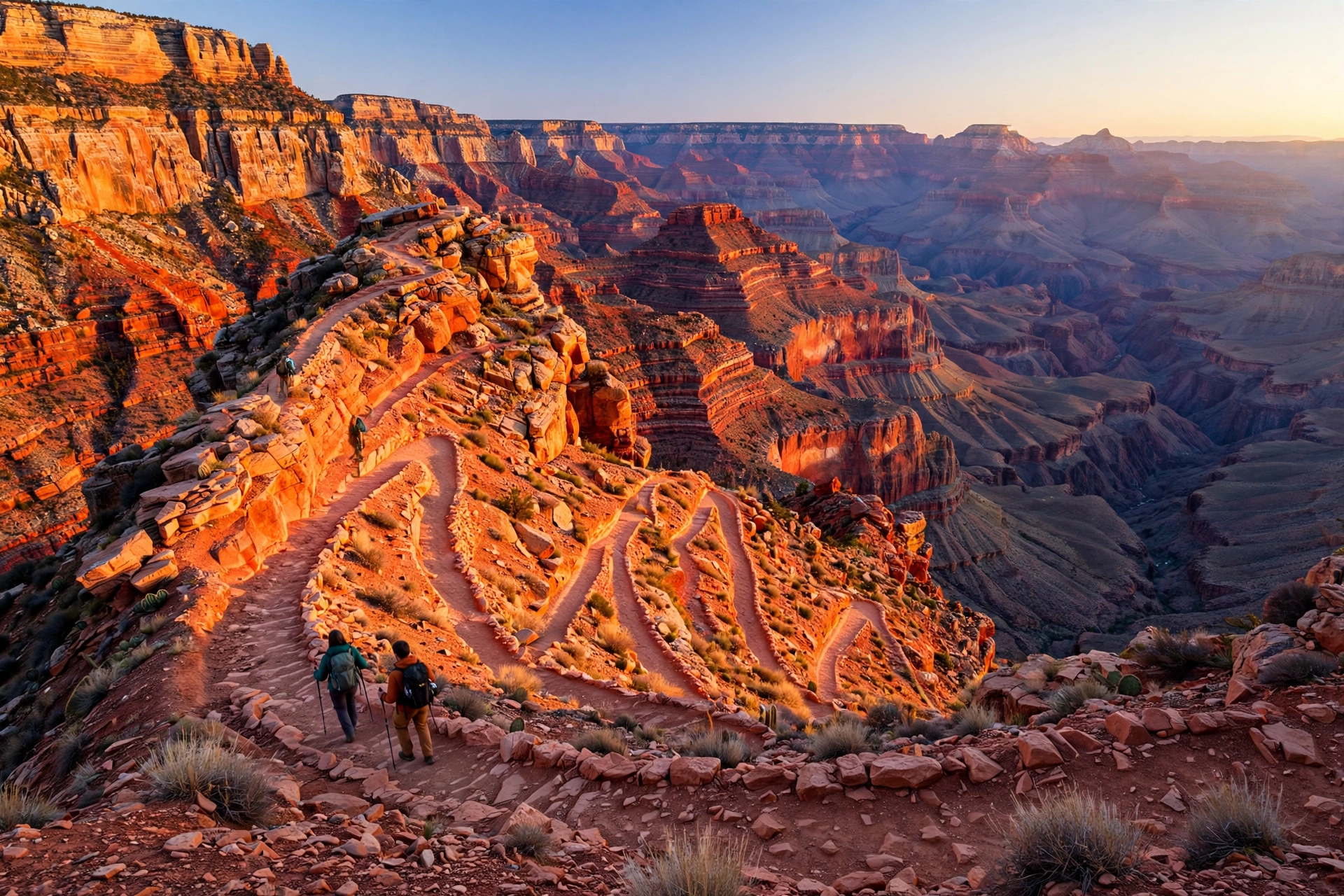
If you’re standing on the South Rim of the Grand Canyon and wondering which trail goes down, the South Kaibab Trail is almost certainly the one you’re looking at — the switchbacking ridgeline that drops straight into the canyon with the widest, most unobstructed views of any trail in the park. It’s the steepest, most exposed, and in many ways the most rewarding day hike at the Grand Canyon. This guide covers the trail section by section, how far you should realistically go, water and heat strategy, the best season, and how to hike it safely.
Why the South Kaibab Trail? South Kaibab vs. Bright Angel
The two main corridor trails from the South Rim could hardly be more different. Bright Angel is wider, gentler, and has water stations and resthouses along its route. South Kaibab is steeper, more exposed, and — crucially — has no water anywhere on the trail. The payoff is that South Kaibab follows a ridgeline instead of a side canyon, so the views open up in every direction from the very first switchback. The classic move, if your legs allow it, is to go down one trail and up the other — but for a first visit, South Kaibab as an out-and-back day hike is unbeatable.
Getting to the Trailhead
Private vehicles cannot drive to the South Kaibab trailhead (except in winter). You have three options:
- Hiker’s Express shuttle — the free shuttle leaves from Bright Angel Lodge, the Visitor Center, and the Backcountry Information Center, with departures starting well before sunrise. This is what most day hikers use.
- The free Kaibab Rim (Orange) shuttle from the Visitor Center.
- The Rim Trail — a mostly flat 4.6-mile walk along the rim from the Village to the trailhead, a fine option if you miss the shuttles.
The Trail Section by Section
Ooh Aah Point (1.8 miles round trip, ~790 ft elevation change)
Yes, that’s really what it’s called — and yes, you will do both. After a steep first half mile of switchbacks called the Chimney, the trail levels along a ridge to the first great panorama. This is the perfect turnaround for families, casual visitors, or anyone hiking in summer heat. It’s short, it’s spectacular, and it’s honest exercise.
Cedar Ridge (3 miles round trip, ~1,140 ft elevation change)
A broad, relatively flat plateau dotted with juniper trees and — at last — a few pit toilets. Cedar Ridge is the most popular turnaround for a satisfying half-day hike, and it has a rare treat on this trail: a few minutes of genuine shade under the junipers. It’s also where the canyon starts feeling big, with views down to the Colorado River on clear days.
Skeleton Point (6 miles round trip, ~2,040 ft elevation change)
The National Park Service’s recommended turnaround for day hikers. From here the river comes fully into view, along with the Tonto Plateau spreading out below. Beyond this point the trail drops seriously: the Tipoff (9 miles RT) and the river itself (7.5 miles one way) are backpacker or exceptional-athlete territory. Going down is optional; coming back up is mandatory, and the hike up takes twice as long as the hike down. The park’s official guidance is blunt: do not hike to the river and back in one day.
Water, Heat, and Safety: The Non-Negotiables
The South Kaibab Trail has zero water sources and almost no shade. Carry at least 3 liters per person for a Cedar Ridge day hike and more for anything longer, plus salty snacks — the combination of desert heat, exertion, and altitude (the rim sits around 7,200 feet) depletes electrolytes fast. In summer, temperatures inside the canyon regularly top 100°F, and rangers run a “Hike Smart” campaign precisely because every year hikers underestimate this trail.
- Start before sunrise in warm months; finish your climb out before the afternoon heat.
- Do the math on time: going down to Cedar Ridge takes about an hour; coming back takes two.
- If someone in your group is struggling, turn around immediately. The trail will be here tomorrow.
- Winter hiking means ice. The top switchbacks ice over in winter — traction devices (microspikes) are essential, and they’re rentable in Tusayan and the Village.
Best Season to Hike the South Kaibab Trail
- March–May and September–November: ideal — mild temperatures, clear skies, and manageable crowds.
- June–August: doable only at dawn; the National Park Service actively discourages midday hiking. Aim for Ooh Aah Point or Cedar Ridge as your turnaround.
- December–February: crisp, quiet, and crowd-free — but icy at the top. Microspikes required.
Extend Your Trip: The Classic Loop
If you’re in strong hiking shape, the legendary South Kaibab down / Bright Angel up combination via the Tonto Trail is the canyon’s most famous long day hike — roughly 13.5 miles with about 4,700 feet of total climbing. You’ll need a dawn start, 4+ liters of water, and real mountain fitness. Alternatively, spend two days and sleep at Phantom Ranch or Bright Angel Campground at the bottom (permits required, booked far in advance) — descending the Kaibab at sunrise and waking up at the river is one of the great American travel experiences.
Keep Exploring the Canyon Country
One Grand Canyon trail usually leads to another. Build your fitness on the best hiking trails in the USA for every skill level before tackling longer canyon days, or pair the South Kaibab with more thrilling adventure activities across the USA. Coming in the cooler months? See the best places to visit in Arizona in winter to round out your itinerary. The ultimate USA road trip planner helps you string the Grand Canyon into a Southwest loop, while our beginner’s camping guide is perfect if you want to sleep under these dark skies. And if the trip feels expensive, these backpacking-on-a-budget tips will keep costs under control.
Final Day-Hike Checklist
- 3+ liters of water per person (no water on the trail) + salty snacks
- Sun protection: hat, sunscreen, sunglasses — the trail is fully exposed
- Decide your turnaround before you start (Ooh Aah, Cedar Ridge, or Skeleton Point max)
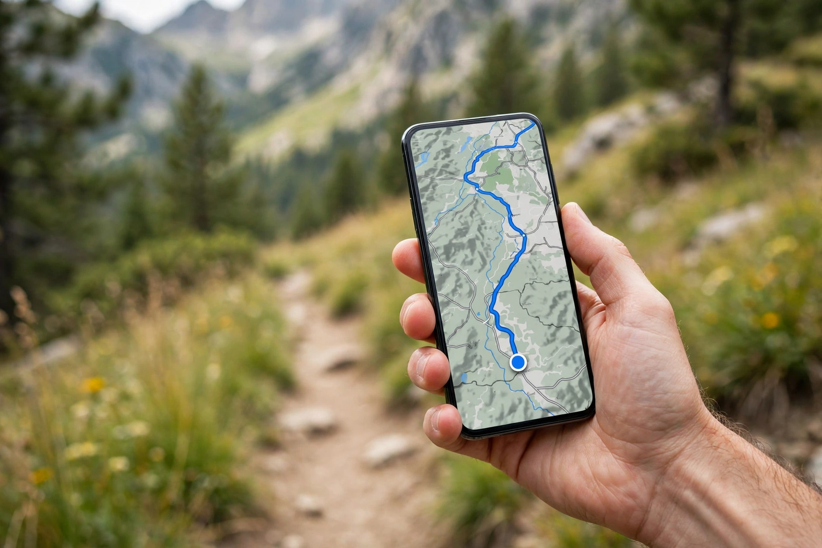
- Hiker’s Express shuttle schedule screenshot (no cell service on the trail)
- Traction devices in winter; headlamp if starting before sunrise
The South Kaibab Trail doesn’t flatter you and doesn’t forgive mistakes — but it rewards honesty. Go as far as your fitness allows, start early, drink more water than you think you need, and you’ll come back up with a memory that will outlast every photograph.